Precision timekeeping system applications
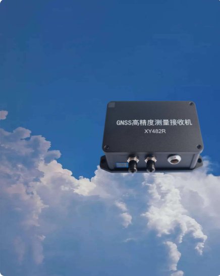
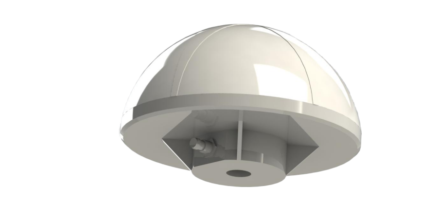
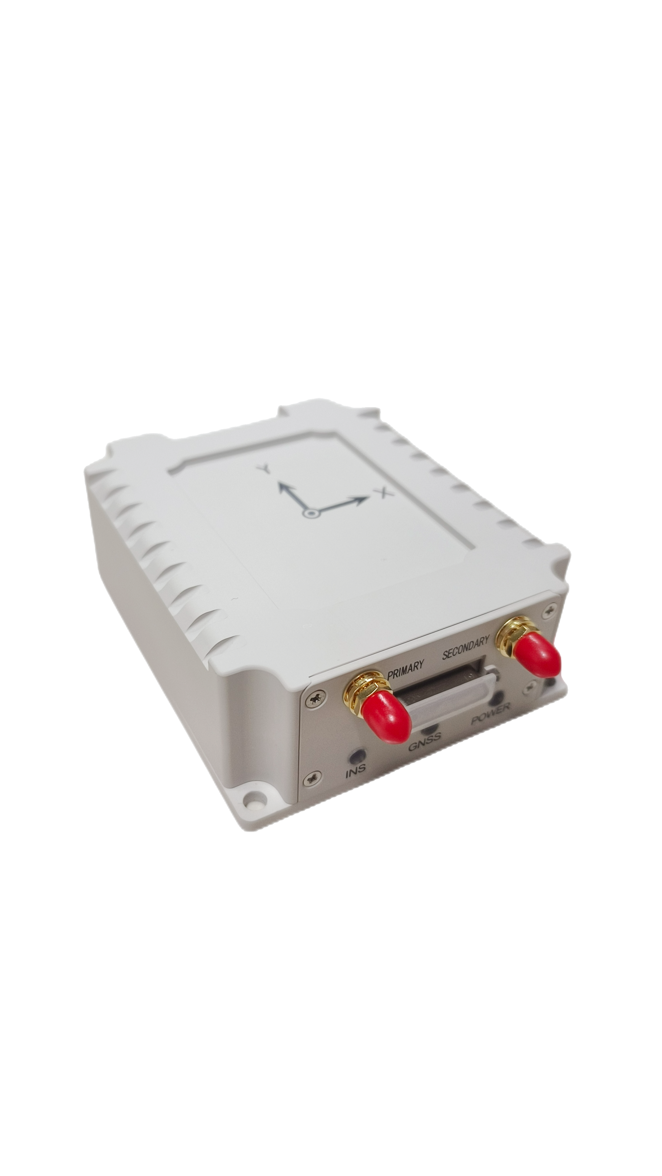
RTK Differential positioning system application
Application of ground disaster safety monitoring system
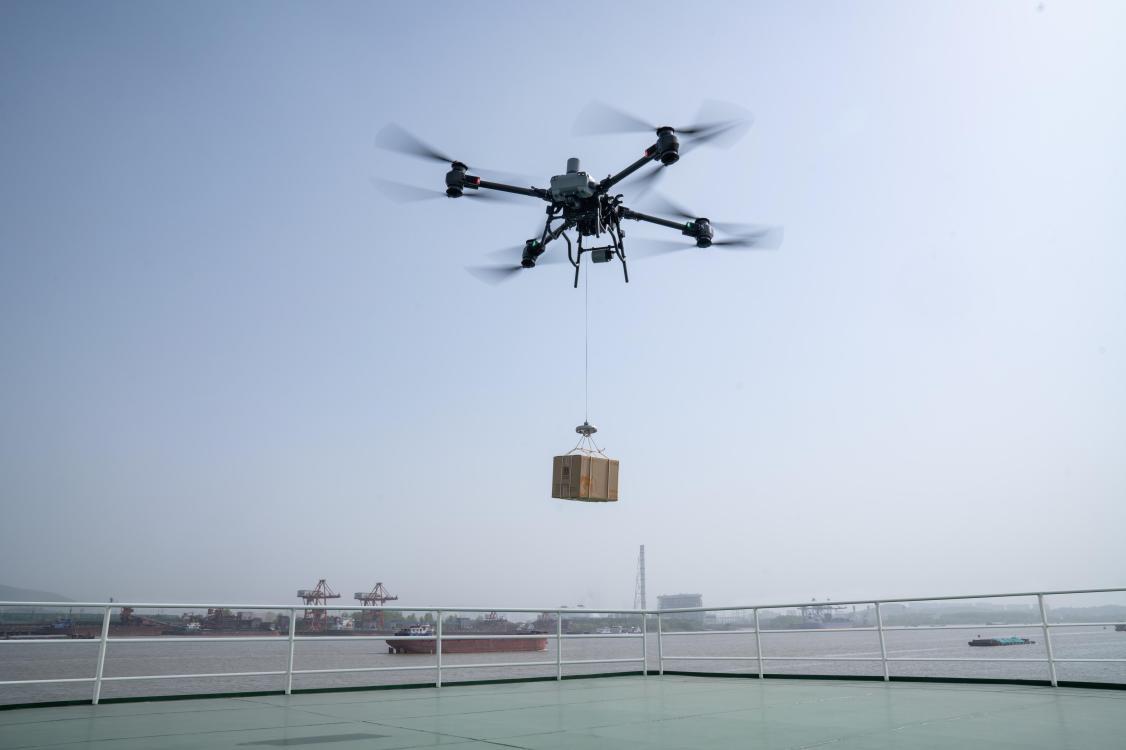
Drones are used efficiently in environmental inspections
In terms of environmental protection inspection, UAV aerial survey can quickly obtain images around pollution accidents, clearly present the main terrain areas and the plane layout of industrial enterprises, and focus on analyzing the layout of industrial enterprises and the geography around the main pollution sources according to the high-resolution digital image map taken, so as to determine the location of the main environmental protection area, the distribution of the watershed and the surrounding pollution sources.
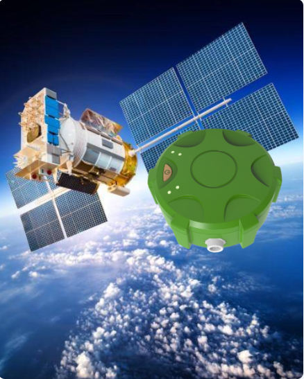
The main difference between the Beidou-2 and Beidou-3 satellite navigation systems
Beidou-2 is a regional satellite navigation system that only provides basic services for the Asia-Pacific region, while Beidou-3 is a global satellite navigation system that provides a variety of services to the world.
Beidou special standards released - 35 items
According to the Beidou Satellite Navigation Standardization Work Plan, the China Satellite Navigation System Management Office now releases 35 Beidou special standards such as the approved "BeiDou Satellite Navigation System RNSS Service Availability Determination Method".
The important achievements of the central enterprises in the 2021 three-year action plan for the development of Beidou were released
In 2022, the Beidou-3 short message communication results were released
The Beidou-3 short message communication results were released
The Information Office of the State Council released a white paper entitled "China's Beidou in the New Era".
The Information Office of the State Council released a white paper on "China's Beidou in the New Era" on the 4th, introducing China's Beidou development achievements and future visions in the new era, and sharing China's Beidou development concept and practical experience.
Long Press to Scan QR Code
Scan QR Code